
Magical Destinations
Wait For You
From the arid majestic deserts of Spiti to the blooming valleys of Kullu, explore the diverse landscapes of Himachal Pradesh based on what moves your soul.
Where the Beas meets the snowline
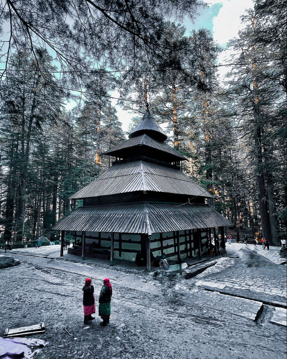
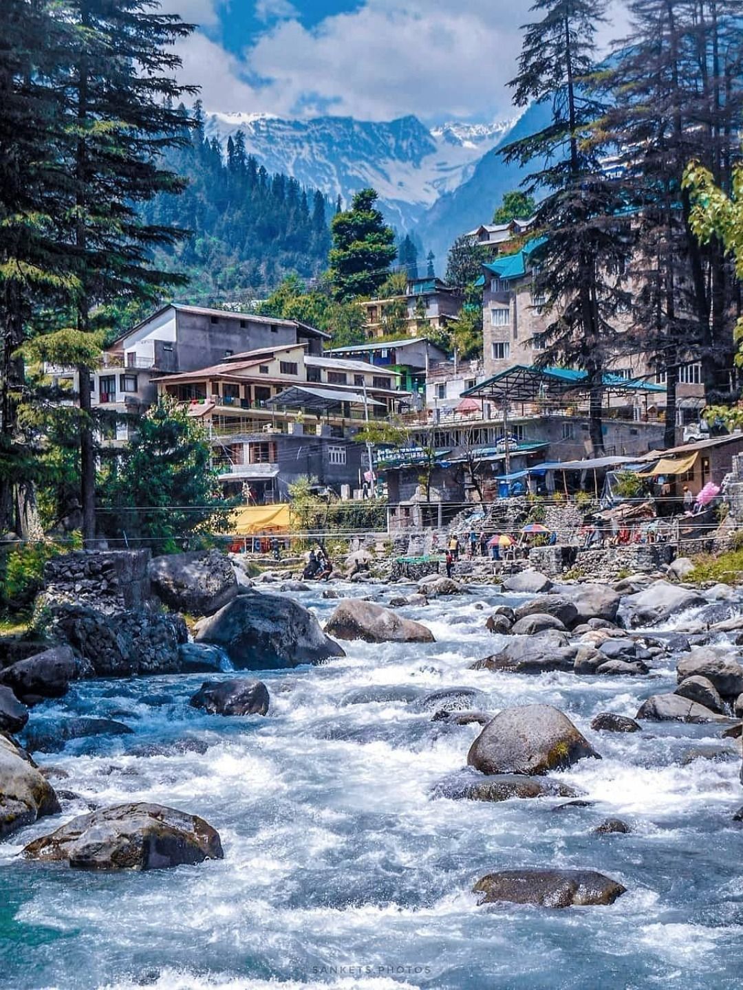
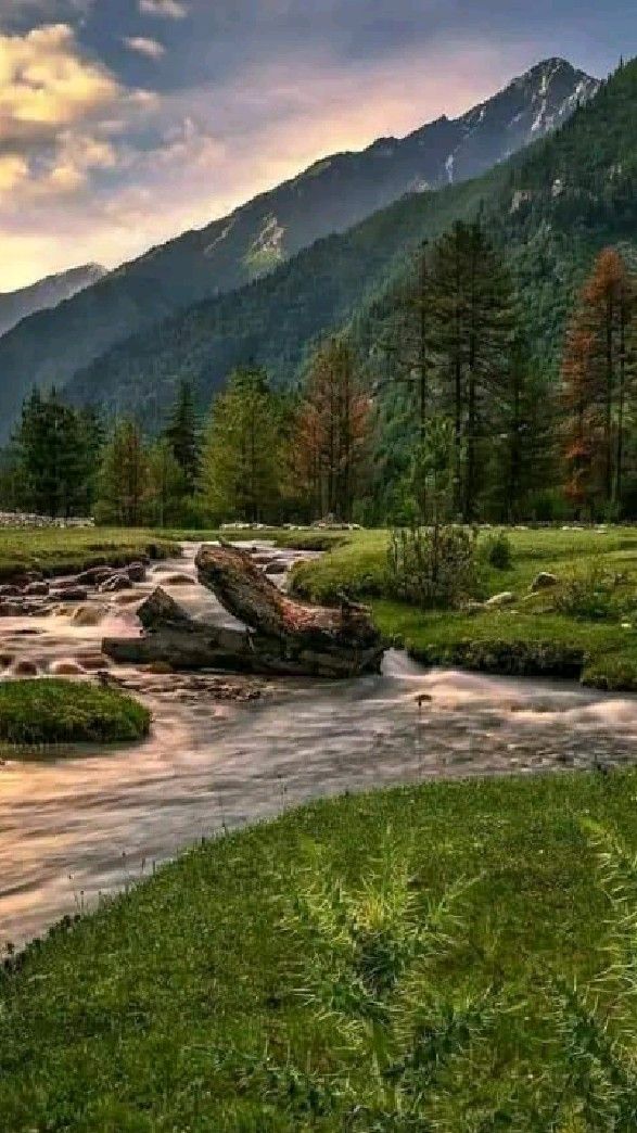
Manali
About Manali - The Adventure Capital of Himachal Pradesh
Manali is one of the most loved mountain destinations in India and a crown jewel of Himachal Pradesh tourism. Nestled in the picturesque Kullu Valley along the banks of the Beas River, Manali attracts travelers with its snow-capped mountains, lush pine forests, charming villages, and endless adventure opportunities. Whether you're planning a family holiday, a romantic getaway, a solo backpacking trip, or an action-packed mountain adventure, Manali offers experiences for every kind of traveler.
Located at an altitude of over 2,000 meters, Manali serves as the gateway to some of the most spectacular Himalayan regions, including Spiti Valley, Lahaul Valley, and Leh Ladakh. The destination is famous for its breathtaking landscapes, vibrant café culture, ancient temples, adventure sports, and scenic mountain roads. Throughout the year, travelers visit Manali to experience everything from snowfall and skiing to river rafting and paragliding.
The town beautifully combines natural beauty with modern comforts. While Old Manali offers a laid-back atmosphere filled with riverside cafés and mountain views, nearby attractions such as Solang Valley, Rohtang Pass, Sissu, and Atal Tunnel provide unforgettable travel experiences. This unique combination makes Manali one of the top places to visit in Himachal Pradesh.
For adventure enthusiasts, Manali is a paradise. Activities like paragliding, ziplining, ATV rides, skiing, trekking, camping, and river rafting attract thousands of travelers every year. At the same time, nature lovers can spend their days exploring waterfalls, apple orchards, forest trails, and peaceful mountain villages.
Apart from adventure and sightseeing, Manali is also known for its rich cultural heritage. The famous Hadimba Devi Temple, Vashisht Temple, and Naggar Castle showcase the region's history and traditional Himachali architecture. Local markets offer handmade woolens, handicrafts, and souvenirs that reflect the vibrant culture of the valley.
One of the biggest advantages of visiting Manali is its accessibility. Travelers can easily plan a Manali trip from Delhi or a Manali trip from Chandigarh through well-connected road routes. The scenic drive itself becomes a memorable part of the journey as travelers pass through rivers, valleys, forests, and mountain towns.
Whether you're looking for adventure, relaxation, nature, culture, or simply a break from city life, Manali delivers an unforgettable Himalayan experience. Its perfect blend of natural beauty, modern tourism infrastructure, and year-round appeal makes it one of the most visited destinations in North India.
Why Choose Himvigo for Your Manali Trip?
Planning a mountain vacation requires more than just hotel bookings. At Himvigo, we focus on creating seamless travel experiences that allow you to enjoy Manali without worrying about logistics.
Customized Travel Experiences
Every traveler has different expectations. Himvigo offers personalized Manali tour packages designed around your interests, budget, and travel style.
Comfortable Stays
From cozy mountain-view hotels to premium resorts, we help you find accommodations that enhance your travel experience.
Local Destination Expertise
Our local knowledge ensures that you discover not only the famous attractions but also hidden gems around Manali.
Complete Travel Assistance
Transportation, accommodation, sightseeing, and travel guidance are managed by our team for a hassle-free journey.
Ideal for Every Traveler
Whether you're planning a honeymoon, family vacation, group tour, corporate outing, or solo adventure, Himvigo offers packages suited to every travel need.
Transparent Pricing
No hidden charges, no last-minute surprises. Our Manali tour packages are designed to provide maximum value and complete peace of mind.
With Himvigo, your journey becomes more than just a trip. It becomes a carefully crafted Himalayan experience designed to create unforgettable memories.
Best Time
October to June
Altitude
6,725 ft (2,050 m)
Highlights
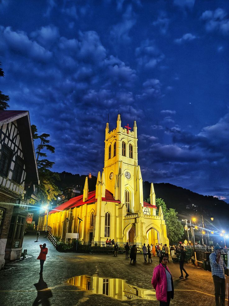
Queen of the Hill Stations
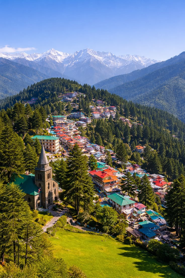
Shimla
Best Time
March to June, September to February
Altitude
7,467 ft (2,276 m)
Highlights
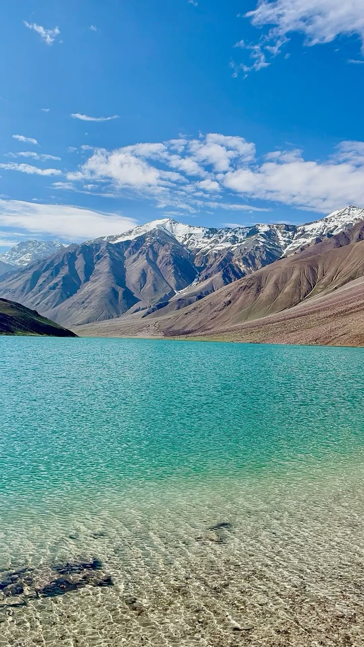
The Moon Lake of Spiti — where silence reflects the sky.
Chandratal Lake
Best Time
June to October
Altitude
14,100 ft (4,300 m) — Spiti Valley, Himachal Pradesh
Highlights
Cold-desert valleys & high monasteries
Spiti Valley
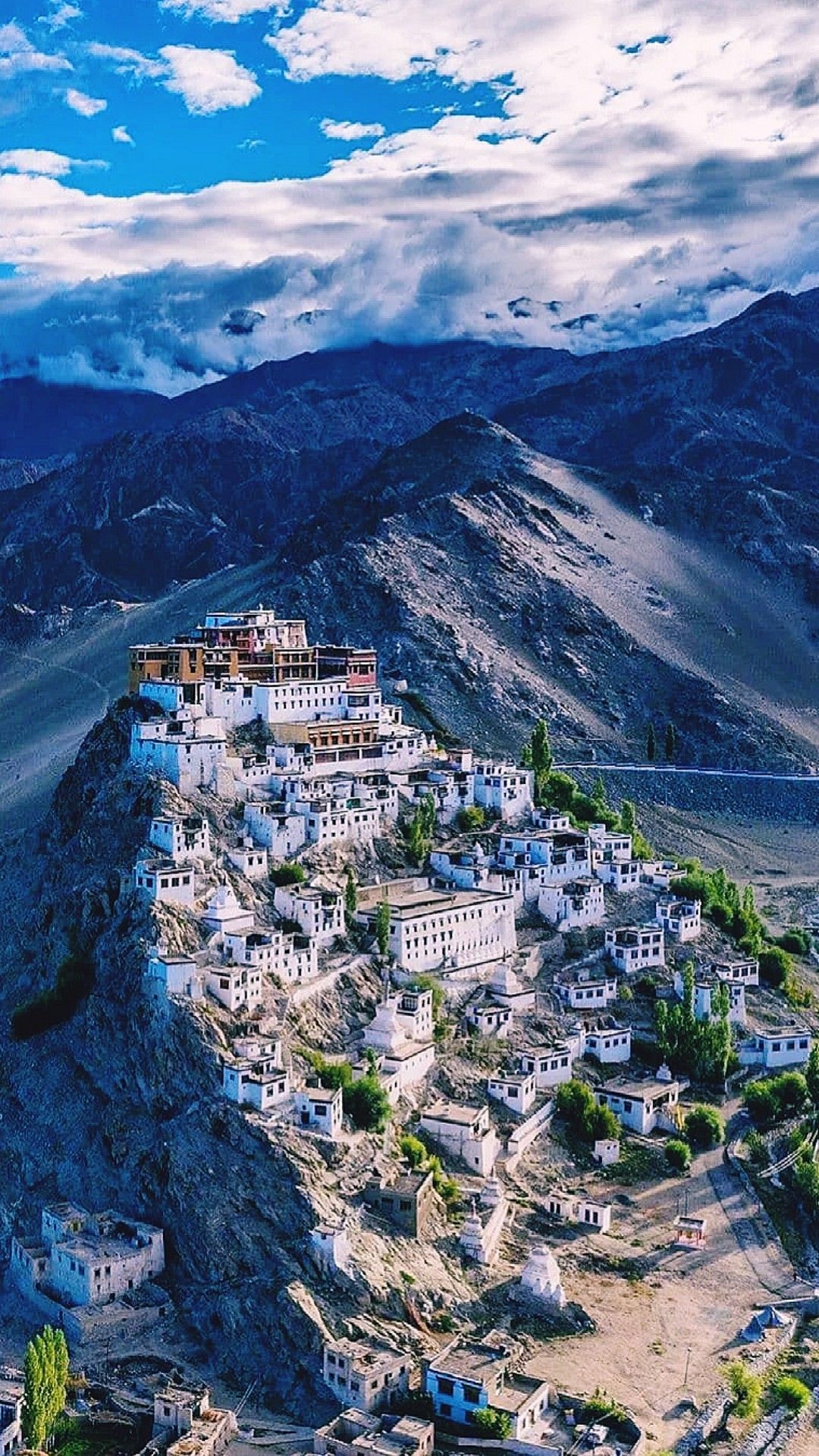
Spiti Valley is not your typical hill destination. It’s a high-altitude cold desert where rugged mountains, ancient monasteries, and endless landscapes create an experience unlike anywhere else in Himachal Pradesh. Often called the “Middle Land” between India and Tibet, Spiti offers a mix of adventure, culture, and silence that stays with you long after the trip ends.
With Himvigo, exploring Spiti becomes easier through well-planned and reliable Spiti Valley tour packages, designed for both comfort and adventure.
Why Choose Spiti Valley?
Spiti is for travelers who want something different from usual hill stations.
Unique cold desert landscapes and dramatic views
Strong Tibetan culture and ancient monasteries
Perfect for road trips and adventure travel
Ideal for photographers, bikers, and explorers
At an average altitude of over 12,000 ft, Spiti offers a raw Himalayan experience with untouched beauty and peaceful surroundings.
Best Time to Visit Spiti Valley
Spiti is accessible only during certain months, so timing is important.
May to September (Summer)
Roads from Manali and Shimla are open
Pleasant weather for travel and sightseeing
This is the best time to visit Spiti Valley
October to April (Winter)
Extreme cold and heavy snowfall
Limited access (only via Shimla side)
Things to Do in Spiti Valley
Spiti is all about experiences that feel real and untouched.
Explore ancient monasteries like Key and Tabo
Visit high-altitude villages like Kaza, Langza, and Hikkim
Camp near Chandratal Lake
Enjoy stargazing in clear night skies
Experience local culture and homestays
Spiti is known for its monasteries, lakes, and remote villages that define its unique identity.
How to Reach Spiti Valley
Spiti is accessible via two main routes.
By Road (Most Popular)
Spiti Valley trip from Delhi: ~730 km
Spiti Valley trip from Chandigarh: ~500 km
Routes:
Shimla → Kinnaur → Spiti (open most of the year)
Manali → Kunzum Pass → Spiti (seasonal route)
By Air
Nearest airport: Bhuntar (Kullu)
Further travel by road
By Train
Nearest major station: Chandigarh / Kalka
With Himvigo, you can plan a complete Spiti Valley trip from Chandigarh or Delhi with transport, stays, and itinerary included.
Spiti Valley Tour Package by Himvigo
Planning Spiti on your own can be challenging due to terrain and connectivity. That’s where Himvigo makes your journey smooth.
With our Spiti Valley tour package, you get:
Comfortable stays & local homestays
Reliable transport for high-altitude roads
Flexible travel plans
Complete trip assistance
Whether you're planning a Spiti Valley tour package 7 days or a longer journey, Himvigo ensures a safe and well-managed experience.
Travel Tips for Spiti Valley
Acclimatize properly to avoid altitude sickness
Carry warm clothes in all seasons
Keep cash (limited ATMs)
Fuel up whenever possible
Travel with a planned itinerary
Why Travel with Himvigo?
With Himvigo, your Spiti journey becomes safer and more organized.
Customized Spiti Valley tour packages
Local expertise for remote regions
Transparent pricing
End-to-end support
We help you explore Spiti with confidence and comfort.
Plan Your Spiti Valley Trip
Spiti Valley is not just a destination — it’s an experience of raw mountains, deep silence, and real adventure.
Book your Spiti Valley tour package with Himvigo or plan your perfect Spiti Valley trip from Chandigarh or Delhi and explore the Himalayas like never before.
Best Time
June to October (loop); year-round via Shimla
Altitude
12,500 ft (3,810 m) — Kaza
Highlights
Mini Israel of the Parvati Valley
Kasol
Best Time
March to June, September to November
Altitude
5,180 ft (1,580 m)
Highlights
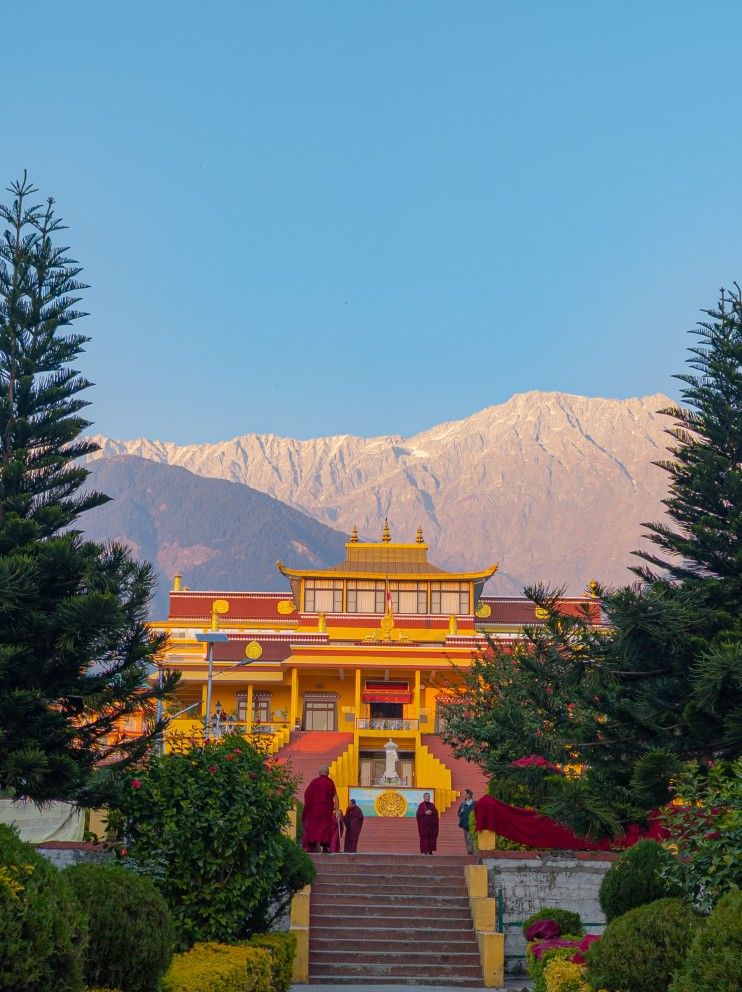
Little Lhasa under the Dhauladhars
Dharamshala / McLeod Ganj
Best Time
February to June, September to November
Altitude
4,780 ft (1,457 m) — McLeod Ganj
Highlights
Land of apples, gods & last villages
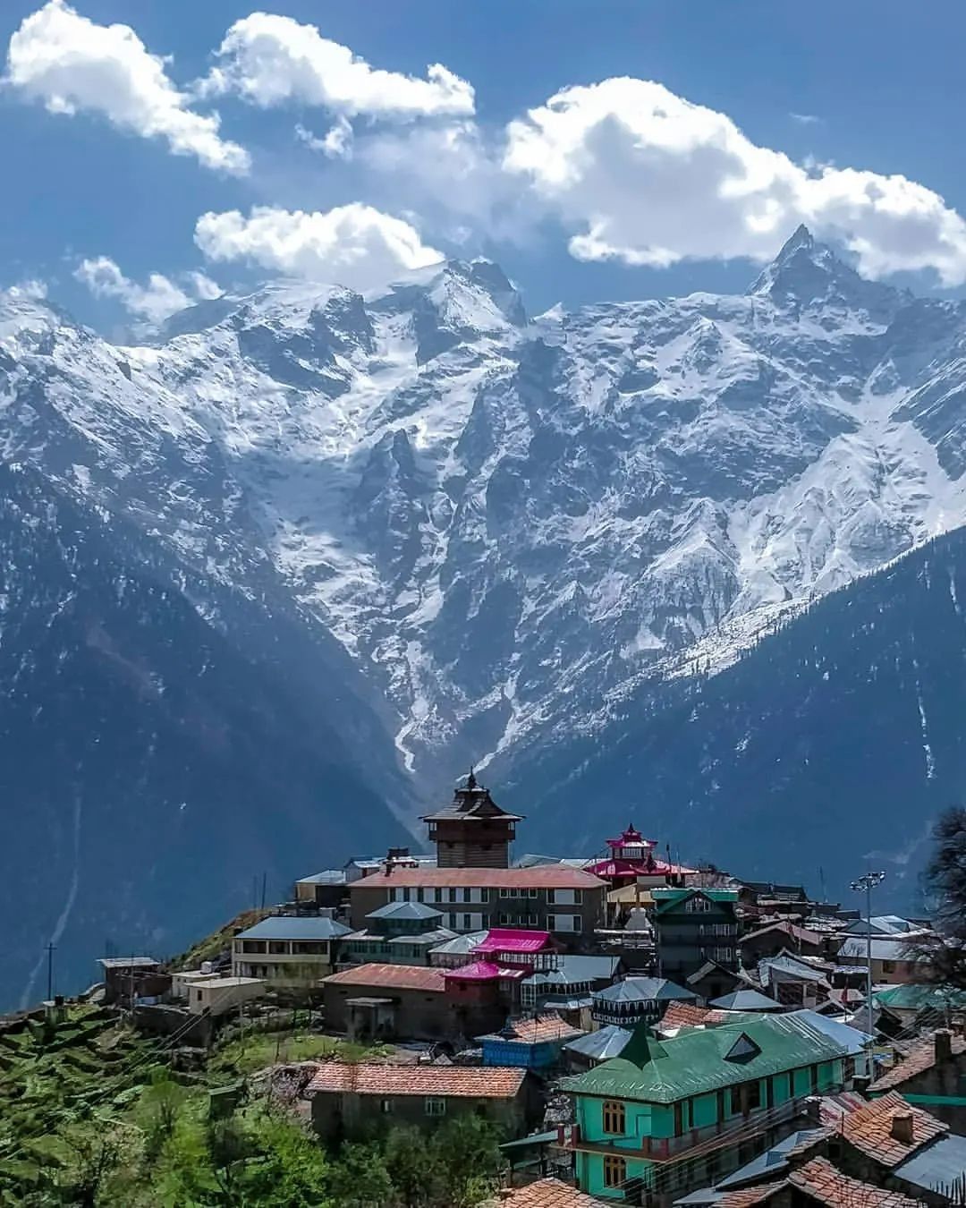
Kinnaur
Best Time
April to October
Altitude
9,200 ft (2,800 m) — Kalpa
Highlights
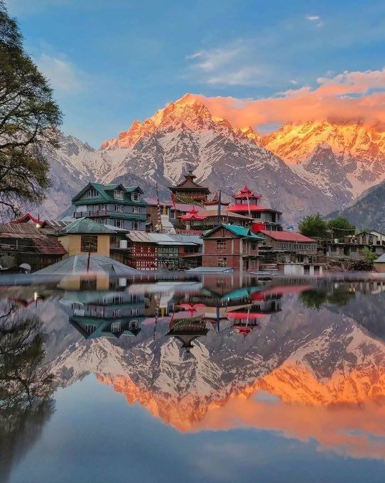
An apple village under Kinner Kailash
Kalpa
Best Time
April to October (apples ripe Aug–Oct)
Altitude
9,200 ft (2,800 m)
Highlights
Where the Baspa runs turquoise
Sangla Valley
Best Time
April to October
Altitude
8,600 ft (2,621 m)
Highlights
Five hills, Scottish skies, Khajjiar meadow
Dalhousie
Best Time
March to June, September to October
Altitude
6,460 ft (1,970 m)
Highlights
The gateway to Himachal & J&K
Pathankot
Best Time
Year-round (transit hub)
Altitude
1,036 ft (316 m)
Highlights
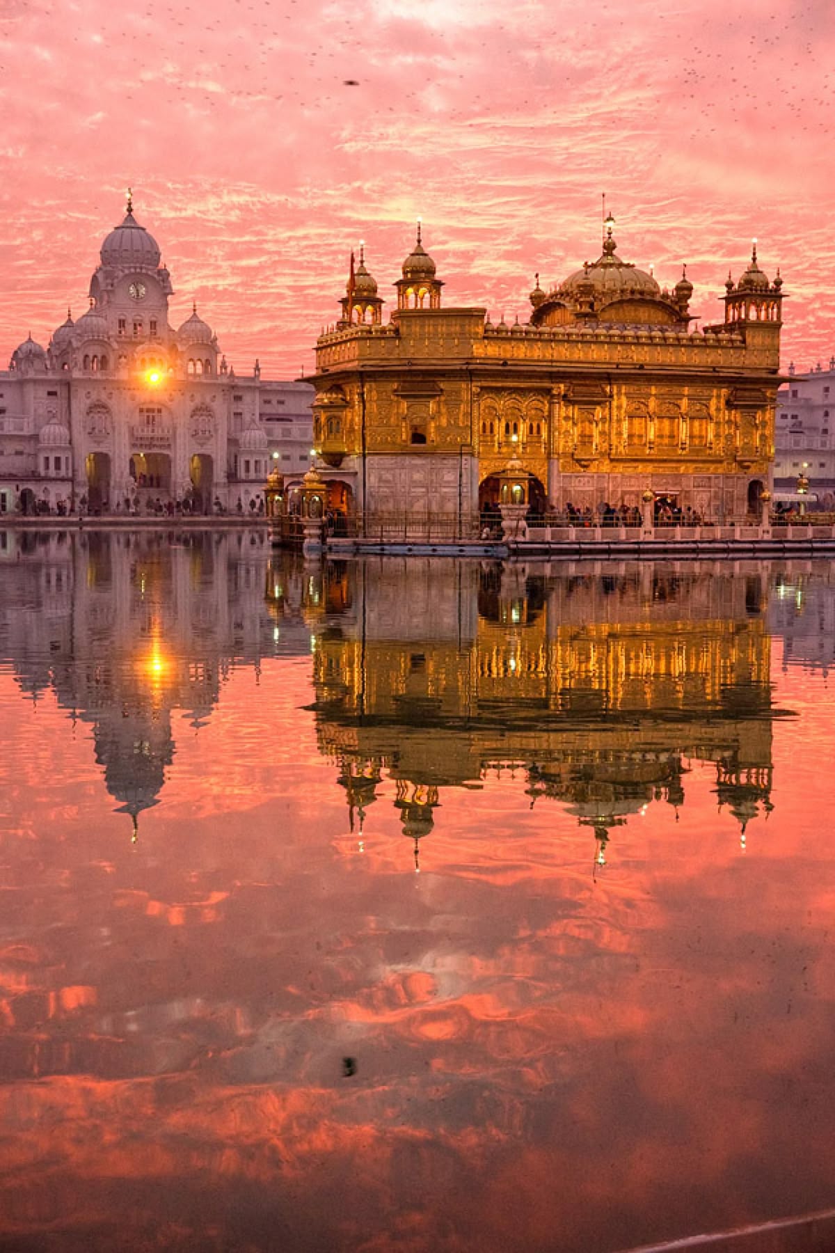
Golden Temple & gateway to upper Himachal
Amritsar
Best Time
October to March
Altitude
768 ft (234 m)
Highlights
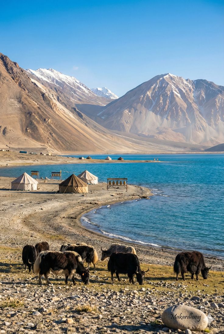
Above the clouds, beyond the passes
Leh - Ladakh
Best Time
June to September (Manali-Leh road open)
Altitude
11,562 ft (3,524 m) — Leh
Highlights
Ready to Explore Himachal?
Let's make the trip yours.
Your mountains are waiting. Tell us where you want to go, and we'll take care of the rest—from comfortable rides to local recommendations that make the trip yours.